
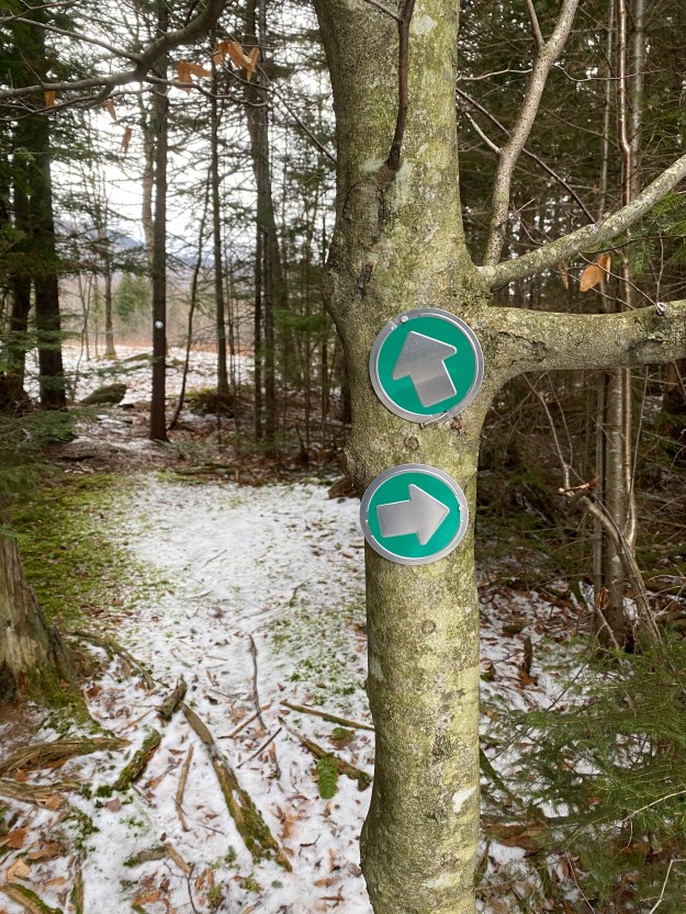
You can just walk out the back door and wander around our property. Either take the trail off the back left of the cabin parking area (see sign:)
Or walk up the lower driveway to the top. From there, you can walk up into the upper left corner of the clearing and either go right, into the woods, or straight out into the fields. Just watch out for an electric fence in the field (very low voltage and not dangerous). Once you are in the larger, open fields, you are no longer on our property. Please remember you are a guest, act responsibly and be respectful if you encounter anyone. Keep an eye out and you may even spot some wildlife!? Enjoy winter or summer (and bring your dog)!
Look for these trail markers:
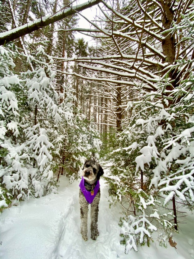
Our wooded trails:

Some nearby hikes (also see guide books in cabin):
Moss Glen Falls: (5 mins, very easy )
- Easy short walk, to view falls on Rt. 100 North from Granville.
- Essentially just off the road and 100 yard walk at most.
- Moss Glen description and PHOTOS
Sunset Ledge: (1-2 hour RT, semi-easy hike, beautiful western views)

- Drive north on Rt 100 to Warren (12 miles from cabin)
- Go left (west) on Lincoln Gap Rd. to summit and park (4 mls)
- Park and hike south on Long Trail for 1 ½ miles to ledge.
- Bring flashlights if you stay for sunset, so you see way home!
Clark Brook Trail: (3-4 hrs, moderate-difficult hike to Mt Roosevelt, great views)
- Head north on Rt 100 only a mile, then turn left onto West Hill Rd, USFS road 55. Continue straight, then bear left on dirt road (55). Continue for 1.7 miles and park in lot just after hunters cabins. Trailhead is on the right across the street.
- Hike up moderate then more difficult trail until reaching Long Trail.
- Go right on Long Trail ½ mile to rock ledge and views.
Texas Falls: ( ½ hours, easy hike off Rt. 125, 15 minutes from cabin)
- Take Rt 100 south to Rt 125 West. Go 3.1 mls and take a right at sign. Follow paved road for ½ ml and park on left.
- Take self guided nature walk 1.2 mile loop.
Robert Frost Interpretive Trail: Ripton, 20 minutes away (Easy 1 mile hike off Rt. 125, 15 minutes from cabin) This National Recreation Trail commemorates Robert Frost’s poetry; several of his poems are mounted along the trail in the woods and fields. Blueberries and huckleberries grow in an old field at the far end of the trail. The trail is an easy walk, and the first 0.3 miles across a beaver pond boardwalk out to the South Branch of the Middlebury River is accessible and suitable for wheelchairs. The Forest Service maintains all of the old fields along this trail with prescribed fire to preserve the scenic, open appearance of the area.
- Take Rt 100 south to Rt 125 West. Go 9.9 mls and parking area is on left at sign.
- Take self guided nature walk 1.2 mile loop.
Mt. Horrid and the Great Cliff Somewhat difficult 1.5-2 hr hike. From Rochester head south on 100, then go right onto RT 73 towards Brandon. Go 8.8 miles west on RT 73 and park at Brandon Gap. Sometimes moose can be seen by pond and there are great views from the top.
Monroe Skyline: (hard 2 day hike from Lincoln Gap to Appalachian Gap)
- First park second car at top of Appalachian Gap on Rt. 17
- Start at Lincoln Gap and follow Long Trail north, to cabin (1.8 mls) for the first night. Then next day hike 12 miles along ridge to App Gap
- (See hiking guide book for more details.)
Killington Peak: 7 miles RT. This is a hike up to Killington Peak where there are far-reaching panoramic views to the Green Mountains of Vermont, the Adirondacks of New York, and the White Mountains of New Hampshire. The first two miles of the route are very easy with gradual incline, but the upper section before the summit becomes steep and difficult.
- Has all types of terrain and don’t forget to pack water and food.
- Beautiful views from the top!
Abby Pond Trial: 4 miles RT of moderate hiking alongside a stream ending by a pond.
- Beautiful cascade of waterfalls as you begin, then meanders alongside a stream.
- Some photos of the falls and Abby Pond: Abby Pond Trail

Hiking Websites:

